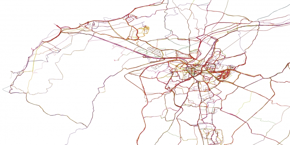
During my hour of daily exercise taken during the COVID-19 Lockdown of Spring-Summer 2020, I found and followed new paths that took me to parts of Lancaster that I had'nt explored before. I became more aware of how the city connects, where tracks, streams, waterways, roads and the river meet and cross. I found allotments, prisons and graveyards, followed narrow bluebell-lined tracks through woods and into high-up places where the view across The Bay or The Lakes opens up and lorries on the motorway push past.
The pull of fresh air, warm sun or the whip of the wind is irresistible as is the need to stretch my legs and body, and clear my mind – and have some physical, spiritual and mental breathing space.
I soon realised I was not alone in these discoveries and invited others to record and share their own lockdown routes. Although physically apart, the project connected friends and strangers through walking, mapping and the places that gave us breathing space. Together we created a collective map of Lancaster and Morecambe during lockdown.
The completed map records the paths and places visited between 16 March and the end of July 2020. Built week by week, it reveals how individual journeys accumulated into a shared record of movement during lockdown.